This post is also available in: Español (Spanish) Français (French) Deutsch (German)
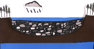
The network and the watershed of the gully catchment area play a decisive role in the choice of check-dam type and location. The Check dam positioning gives you an overview of a catchment area where a check dam is installed. The blue area represents the overall water basin of the catchment. The check-dam section represents the downstream point of the catchment area.
Gully Catchment Area by Giovanni Timillero, Isidora Vrbavac and Ruth Schaldach is licensed under a Creative Commons Attribution-ShareAlike 4.0 International License.